Plan, record and analyze your field work
Take your plans into the field, define work areas, record progress, routes, photos and forms, analyze slopes and elevation, and keep everything organized from your Android device.

Mark points, define areas, draw lines, attach photos and keep information linked to each element.
Take your prepared maps and data with you and continue viewing and recording information in areas without an internet connection.
Combine mapping, GPS, forms, terrain analysis, progress tracking and geospatial tools in a single application.
GeoGestmaq brings together the maps, work areas, routes, photos, observations and records you need during an operation, inspection or survey. Prepare information before heading out, work directly on the map and continue the analysis or management afterwards.


You do not need to build your workflow around a GIS. GeoGestmaq puts geospatial capabilities inside the field work you already do.
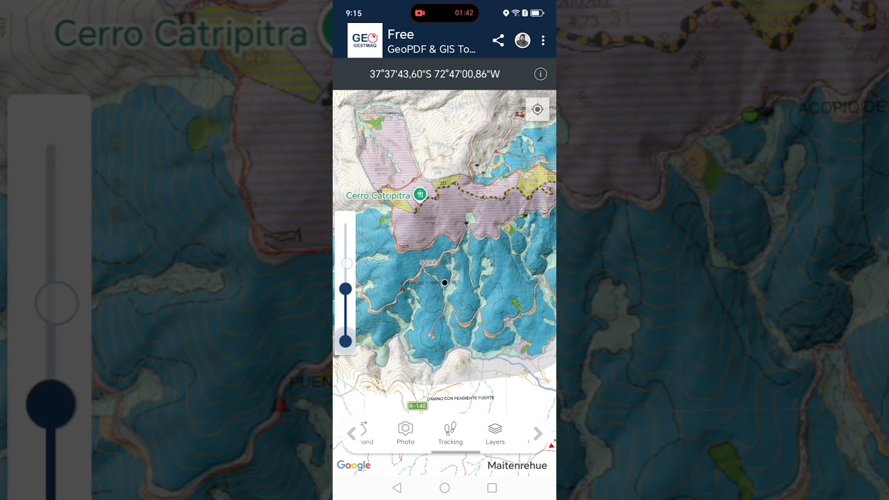
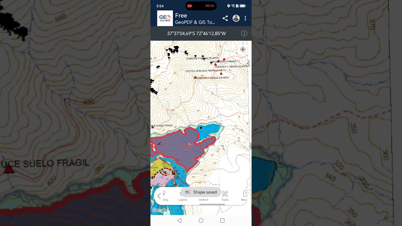
Work with georeferenced PDF plans and DEM/DTM digital elevation models in GeoTIFF to consult the information directly in the field.
Record locations, roads, boundaries, work zones, hazards, observations and other elements directly on the map.
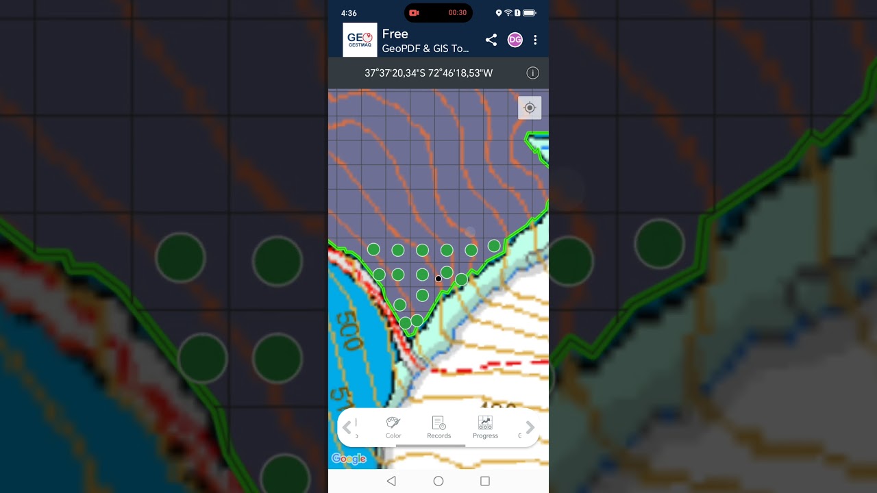
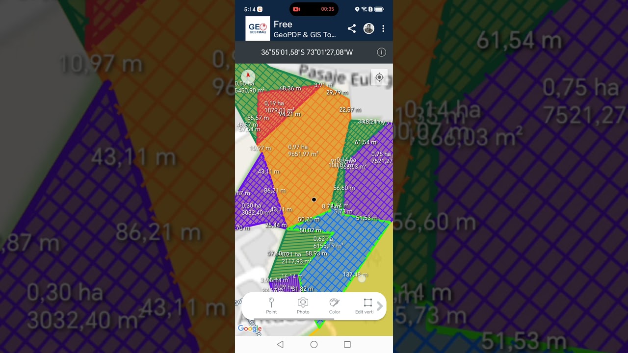
Organize polygons into areas and subareas, split sectors and use progress layers to represent work progress on the ground.
Analyze elevation models, check heights and generate slope maps, contour lines and hillshade to support field decisions.
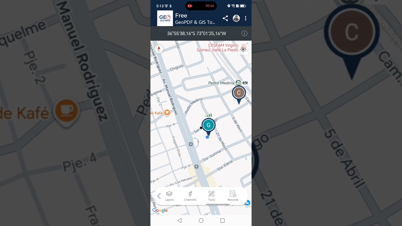
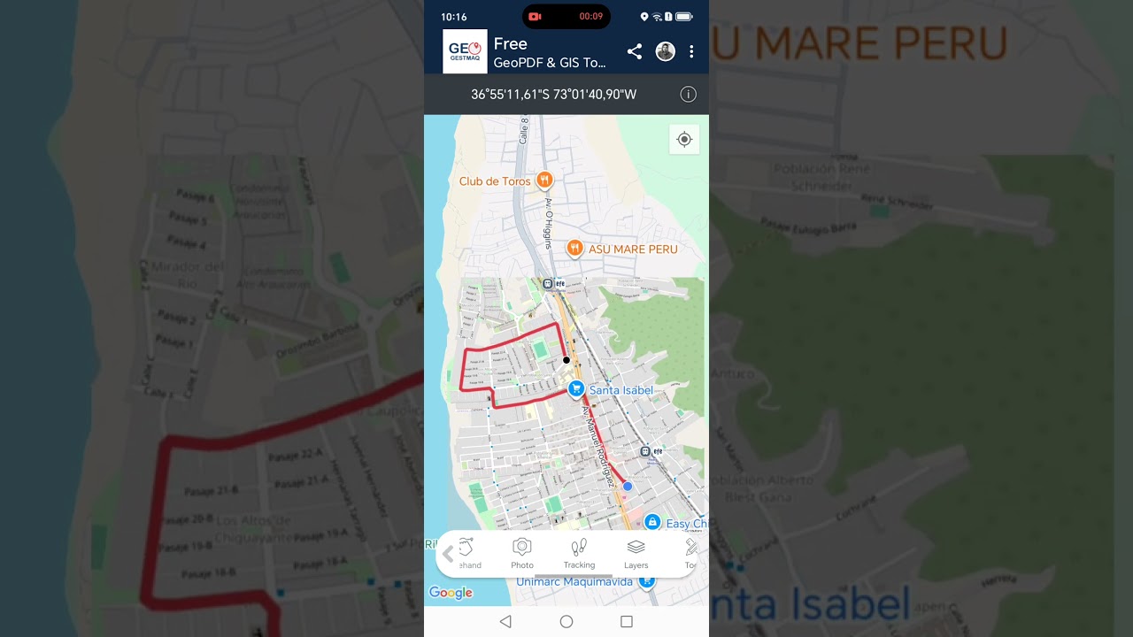
Record tracks and view distance, coordinates, bearing and elevation. You can also share live locations when you need to coordinate teams.
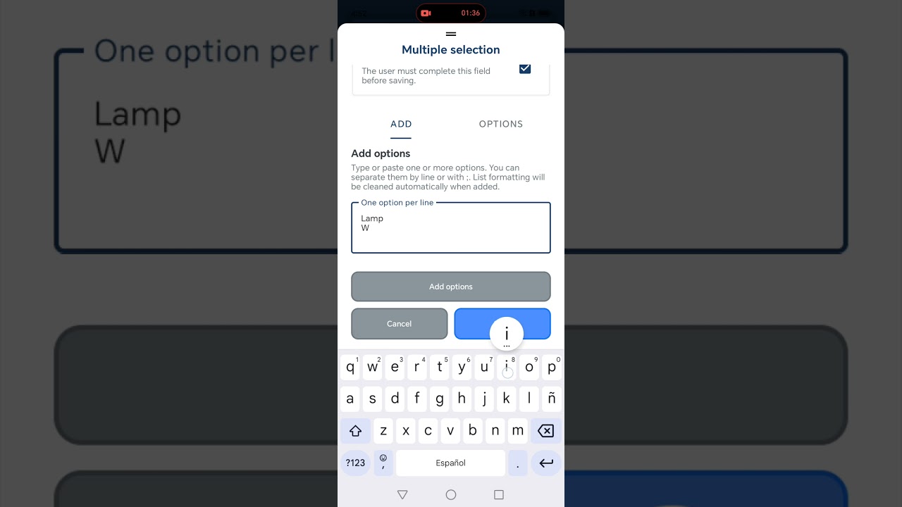
Attach custom forms, photos, inspections, maintenance records and observations to elements recorded on the map.
Select visible zones from a plan or raster map and turn them into work areas without manually drawing every boundary.
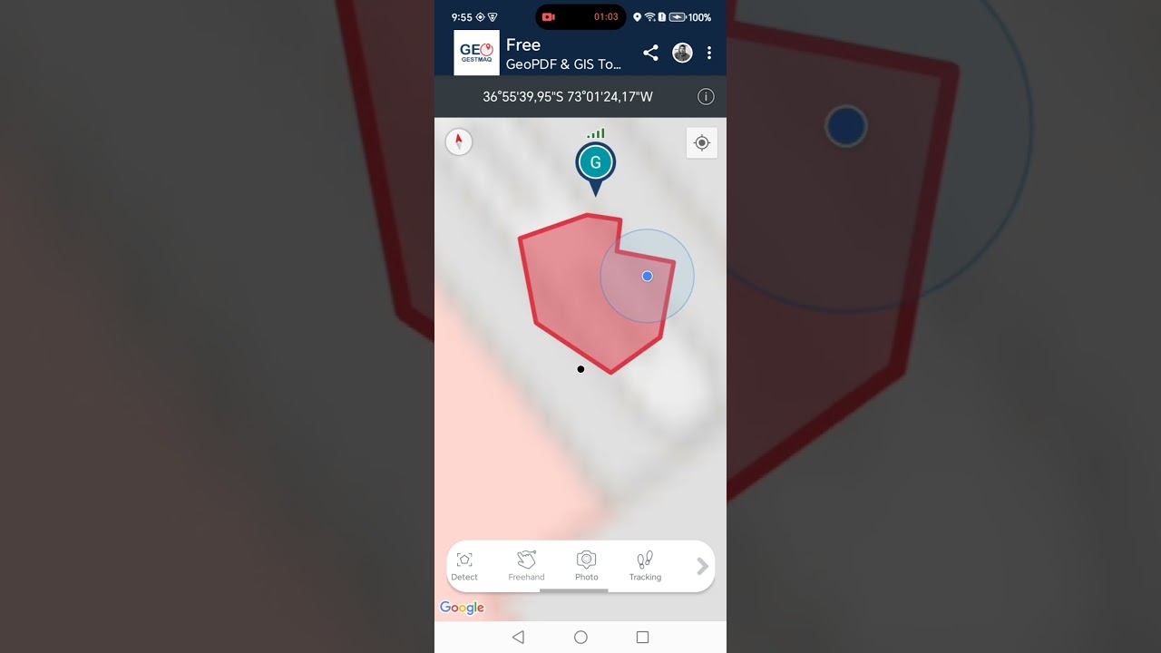
Define zones and reference elements to receive entry, exit, proximity or crossing alerts during operations.
Work with shared collections, sync information between devices and export your data to continue working in QGIS or other tools.
Whether you are in forestry, construction, a property, an inspection or a survey, you can check the plan, mark risks and findings, record progress, take photos, complete forms and save routes without separating the work from its location.
GeoGestmaq is not limited to a single discipline. Its tools adapt to operations where location, records and terrain conditions are part of the job.
Define stands and work zones, review slopes, mark hazards, record routes and represent progress directly on the map.
Organize sectors and record points of interest, boundaries, routes, photos and observations linked to each area of the property.
Work over plans, divide areas and record progress, incidents, measurements, photos and inspections during execution.
Capture geographic elements, routes and related data, check elevations and take supporting cartography directly into the field.
Locate assets or findings, complete forms, record photos and keep a history of observations and maintenance.
Mark risk zones, routes, restrictions and critical points, and use terrain information to support team coordination.
The information collected in the field does not stay isolated. Organize work into collections, share it with other users and keep the option to take your data into other tools.
New tools focused on capturing, analyzing and managing information directly where the work happens.
Download GeoGestmaq on Android and start organizing maps, areas, routes, photos, forms and terrain analysis from one application. Several features are available for free.
